WEATHER ALERT DAY: Severe storms work east late tonight
A Weather Alert Day is in effect through early tomorrow morning as storms with very heavy rain and damaging winds work east through Mid-Missouri. Reports of wind damage have already started to pour in, with power outages across western and southwest Missouri.
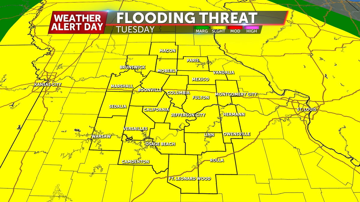
The Tornado Watch has been pared back to include the St. Louis area as storms work east out of Mid-Missouri. Widespread rain continues tonight, heightening the flood risk overnight as 2-4" of rain has fallen across parts of the area.


SETUP

We are tracking a low pressure system developing and strengthening as it crawls across the Plains early this week, possibly producing several rounds of severe storms before it finally exits by Wednesday.
FUTURETRACK
An unstable airmass has spread into the region, boosting storm energy and increasing the risk for all types of severe weather. Another round of storms fires up to our west and rolls in Monday evening, carrying all hazards. Strong winds, large hail, and a few tornadoes are all possible Monday afternoon and overnight.
If the afternoon round of storms develops, those storms will be capable of golf ball size or larger hail and a few strong EF-2+ tornadoes.


Tuesday will be another day of potential storms as a cold front moves east. If the front passes quickly enough, the higher risk will be to our east by the afternoon.

IMPACTS

All forms of severe weather are possible on Monday. Strong tornadoes will be a concern early in the evening. Strong winds and large hail could accompany any severe storms from Monday night through Tuesday morning. Flooding also becomes a concern as rain begins to push totals above 2 to 3 inches by midweek.


Be sure to download the ABC 17 Stormtrack Weather App to get the latest updates on this forecast and real-time weather alerts for your location.


